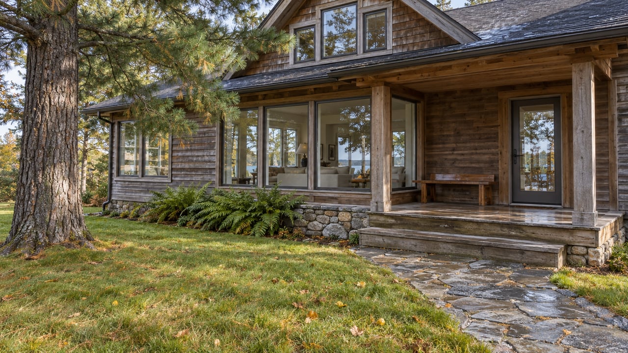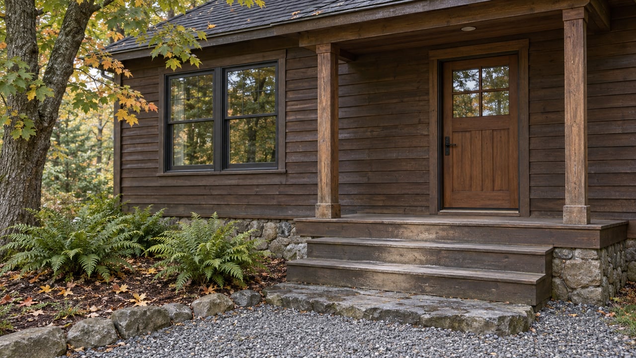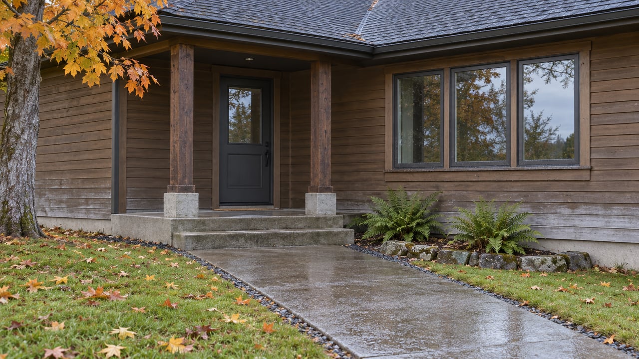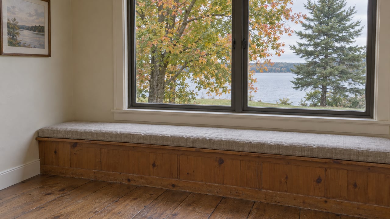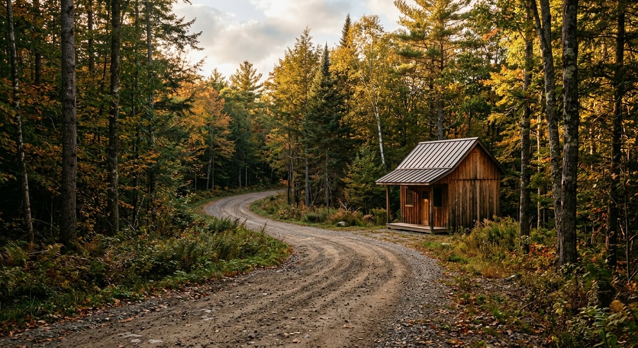
If you are shopping for hunting or recreation land near Iron River, it is easy to focus on acreage first and ask questions later. But in this part of Bayfield County, the better question is whether a parcel actually works for the way you want to use it. When you look at access, habitat, timber, water, nearby land use, and buildability together, you make a much smarter decision. Let’s dive in.
Why Iron River Land Needs a Bigger Lens
Land near Iron River is not just a number on a listing sheet. Bayfield County says about half of the county is in public ownership, and about 83% of the land is forested. That means your parcel is part of a much larger recreation landscape that includes forest blocks, trails, water features, and nearby public-access land.
This matters because two properties with the same acreage can feel very different in real life. One may offer easy access, usable cover, and a practical cabin site. Another may look appealing on a map but come with seasonal access issues, boundary questions, or building limits.
Start With Legal Access
Before you fall in love with a parcel, confirm how you legally get to it. Bayfield County’s Register of Deeds is the official source for real estate records, and easements may only appear in survey records such as a certified survey map or map of survey. If access depends on a private road or shared drive, the recorded language matters.
A survey is often worth it here. Bayfield County notes that its parcel map can be off by as much as 200 feet from the true location. If you care about corners, easements, driveway placement, or exact boundaries, a survey can save you from expensive surprises.
Seasonal Access Counts Too
A road or trail that appears usable on a map may not work the same way year-round. Bayfield County manages county forest roads and trails by permitted vehicle type, and trail status can change with seasonal conditions. For hunting, cabin use, or equipment delivery, that can affect how practical a property really is.
If you plan to tow a trailer, bring in building materials, or use the land in multiple seasons, check current access rules early. A parcel that feels remote and private can still be frustrating if your access is limited during key times of year.
Evaluate Habitat and Timber Together
Good hunting land is usually more than thick woods. The Wisconsin DNR’s forest landowner guidance says wildlife needs food, cover, water, reproduction, and space. That is why a strong recreation parcel often has a mix of cover types, openings, regeneration areas, and usable internal trails.
As you walk a property, ask whether the land supports movement and variety. Dense timber alone does not always create the best hunting setup. A parcel with mixed habitat can be more functional and enjoyable over time.
Look for Signs of Long-Term Stewardship
Timber quality also affects long-term value and use. Useful signs include a written forest management plan, clearly marked boundaries, good access, species that fit the site, and limited disease or insect damage. These details can point to a property that has been cared for rather than simply left alone.
The DNR also notes that forest health can be affected by invasive plants, deer overbrowsing, extreme weather, pests, and unsustainable management. If a parcel has obvious stress, overgrowth, or poor trail layout, you may be taking on more work than expected. That does not make it a bad property, but it does change the equation.
Check Water and Wetland Limits
Water can add a lot to recreation land. A creek, pond, flowage edge, or other water feature may improve scenery, wildlife use, and enjoyment. But near Iron River, waterfront appeal and buildability are not the same thing.
Wisconsin shoreland zoning applies to unincorporated land within 1,000 feet of a navigable lake, flowage, or pond, or within 300 feet of a navigable stream. Statewide standards generally require a 75-foot setback from the ordinary high-water mark, with a restricted buffer zone in the first 35 feet. Those rules can reduce where you can place a cabin, driveway, or other improvements.
Treat Buildability as a Separate Question
Bayfield County provides shoreland-wetland zoning maps and flood-map resources, and the county advises owners to contact zoning before building or developing property. That is especially important if a parcel is marketed for its waterfront setting. A beautiful view does not automatically mean an easy building site.
If you are comparing two parcels, one with water and one without, make sure you are weighing the tradeoffs clearly. The water parcel may offer a stronger recreation feel, but the upland parcel may offer more flexibility for future improvements.
Review Nearby Land Uses
The land around your property can shape your experience almost as much as the parcel itself. Because so much of Bayfield County is publicly owned, nearby public access can be a benefit for recreation. It can also mean more traffic on trails, more hunting pressure, and less privacy in some areas.
The Wisconsin DNR says land enrolled in Managed Forest Law and open to public access may be used for hunting, fishing, hiking, sightseeing, and cross-country skiing. That can expand your recreation options nearby. It can also change how secluded a parcel feels during busy times of year.
Future Land Use Is a Clue, Not a Promise
The Town of Iron River comprehensive plan says its future land use map is general rather than site-specific. Decisions are based on the zoning ordinance and comprehensive plan together. In plain terms, neighboring uses and future land use maps can help you ask better questions, but they should not be treated as guarantees.
When you evaluate a property, look beyond the property lines. Notice nearby roads, public land access points, trails, and developed areas. Those details can influence noise, activity levels, and your overall use of the land.
Test Cabin and Building Potential Early
A parcel can be excellent for hunting and still be difficult to build on. Bayfield County asks owners to contact Planning and Zoning before building or developing property. Soil conditions, septic type, zoning rules, and driveway needs all affect cost and feasibility.
The county sanitary office notes that a conventional in-ground septic system for a one- or two-family dwelling may be county-issued without state plan review when soils are suitable. But mound systems, holding tanks, and some other systems can require state review and professionally prepared plans. That can change both timeline and budget.
Municipality and Utility Details Matter
Wisconsin’s Uniform Dwelling Code system places one- and two-family permit handling through the municipality. If you are planning a cabin or home, verify the local process instead of assuming rural land is simple to improve. Even a modest structure may involve more review than buyers expect.
In and around the Town of Iron River, some parcels may have access to water, sanitary sewer, electric, internet, propane, and recycling services. Moon Lake Park also adds a local recreation base with a boat ramp, campground, and Wi-Fi. Smaller parcels closer to town may be easier for cabin logistics, while more remote tracts often require greater self-sufficiency.
Compare Northwoods Tracts and In-Town Parcels
A larger tract outside town often fits buyers who want a bigger habitat block, more room for trail systems, and long-term timber and recreation use. In Bayfield County’s forested landscape, those larger parcels can offer flexibility for hunting, stewardship, and quiet use if access and boundaries are solid. They may also demand more planning and more ongoing maintenance.
Smaller parcels closer to Iron River usually offer convenience. With town services and easier access to local amenities, they can work well for a weekend cabin setup or simpler day-use recreation. The tradeoff may be less seclusion and less uninterrupted habitat.
Focus on Fit, Not Just Size
The best parcel is not always the biggest one. A smaller property with clear access, usable terrain, service availability, and fewer development hurdles may fit your goals better than a larger but more complicated tract. That is especially true if you are buying from out of the area and want fewer surprises after closing.
When you compare properties near Iron River, think in systems. Ask how access, habitat, timber, water, neighboring land use, and buildability work together. That approach gives you a much clearer picture of whether a parcel truly matches your plans.
If you are weighing land options near Iron River, local insight can make the process a lot more practical. Peggy Kman brings decades of Bayfield County experience and can help you sort through the details that matter before you buy.
FAQs
Do you need a survey for hunting land near Iron River?
- Usually, yes. Bayfield County says its parcel map can be off by up to 200 feet, and easements may only appear in survey records.
Can you trust a mapped road or trail near Iron River land?
- Not without checking current county access rules and seasonal trail conditions, since permitted uses can vary by vehicle type and time of year.
Can you build close to water on land near Iron River?
- Not automatically. Wisconsin shoreland zoning generally requires a 75-foot setback from the ordinary high-water mark, along with buffer restrictions near the shoreline.
Are smaller parcels near Iron River easier for cabin use?
- They can be, especially where town services such as water, sanitary sewer, electric, internet, and propane are available. You still need to verify zoning, septic, and permit requirements.
What makes a good recreation parcel near Iron River?
- A strong parcel usually matches your intended use across several factors, including legal access, habitat mix, timber condition, water features, nearby land use, and realistic buildability.