If you're looking at a parcel with Bois Brule River frontage, here's the question worth asking before the question of price: does owning this land actually get you exclusive access to the fishing that made this river famous?
Mostly, no. And understanding why changes how you should be comparing listings.
What's Actually Inside That State Forest Boundary
The Bois Brule runs 44 miles from spring-fed headwaters near Solon Springs to its mouth at Lake Superior, and nearly all of it sits inside the Brule River State Forest. But that boundary isn't a solid block of public land. The forest covers roughly 52,000 acres, and about 12,000 of those acres are privately owned, woven in among the state holdings rather than sitting outside them. That's the parcel type you're actually shopping for when a listing says "Brule River frontage": private land inside a public forest, not private land adjacent to one.
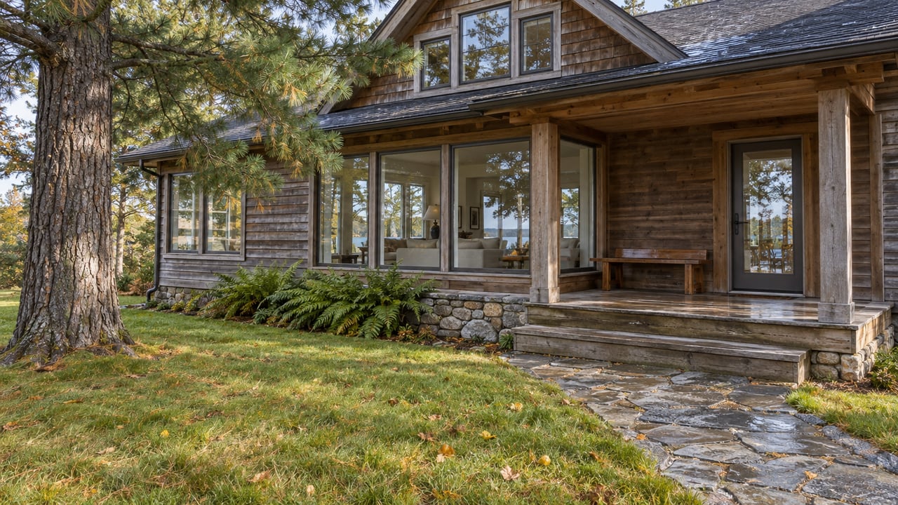
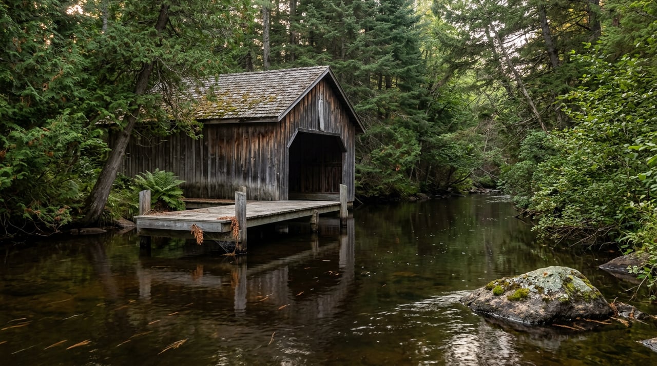
The stretch between Stone's Bridge (County S) and just below County B is where most of that private ownership concentrates, and it's also the most storied water on the river. This is the section lined with cedar boathouses and hunting camps dating to the late 1800s and early 1900s, including Cedar Island Lodge, where Calvin Coolidge spent an entire summer while in office. Grant, Cleveland, Hoover, and Eisenhower all fished this same run at various points. That history is real, and it's part of what buyers are paying for. What it isn't is a guarantee of privacy on the water itself.
The Ten Landings Rule
Wisconsin manages public access to the Brule the same way it manages a lot of premium trout water: tightly, and through a small number of choke points rather than open frontage rights. The Brule River Sportsmen's Club says there are ten designated canoe landings on state land along the entire river, and all launching and landing from state property is restricted to those ten sites specifically to protect the shoreline. Two of them, Bois Brule and Copper Range, are built into the state forest campgrounds. The most heavily used, Stone's Bridge, sits right at the top of that historic private-estate corridor.
What that means in practice: a canoe trip that starts at Stone's Bridge passes directly in front of privately owned cedar estates for the first several miles, whether or not the people living in those estates want company that Friday morning in July. Anglers reach the river the same way, using state-maintained parking areas and access trails that run along the length of the river regardless of who owns the neighboring bank. Owning frontage here buys you a view, a piece of history, and proximity. It does not buy you a private beat of river the way it might on a stream where the state doesn't control every public entry point.
Two Rivers, One Listing Description
Part of what makes Brule listings hard to compare on paper is that the river genuinely changes character partway through, and a lot of that change happens right around the private-land corridor.
| Upper river (above Stone's Bridge) | Lower river (Stone's Bridge to Lake Superior) | |
|---|---|---|
| Character | Slow, meandering, spring-fed bog water | Steeper gradient, gravel and boulder bottom, faster current |
| Elevation drop | Minimal | 328 of the river's 418 total feet of drop happens in the last 18 miles |
| Typical use | Quiet fishing, less canoe traffic | Historic estates, heaviest canoe and kayak traffic, whitewater sections |
| What frontage buys | Seclusion, resident brook and brown trout water | Scenery, history, proximity to Stone's Bridge and Winneboujou landings, more foot and paddle traffic passing your bank |
A buyer chasing quiet fly fishing and a buyer chasing the postcard version of the Brule, cedar boathouses and canoe traffic included, are shopping for two different products that can both be marketed as "Bois Brule frontage." The listing description rarely draws that line for you.
What Three Listings Told Us in June
Land pricing on the Brule doesn't move in a tight band, and the spread itself is informative. As of June 20, 2026, there were only three active river-frontage listings on the entire Bois Brule, averaging $371,300, with the highest at $695,000 and the lowest at $119,900. That's close to a six-fold difference in the same small market, on the same river, in the same season.
Some of that gap is acreage and house condition, the ordinary variables. But a meaningful part of it tracks with everything above: whether the parcel sits in the historic Stone's Bridge corridor with its estate pedigree and canoe traffic, whether it's tucked into quieter water upstream or downstream, and how close it sits to one of the ten public landings, which affects both convenience and how much passing boat and foot traffic you can expect on a summer weekend. Two parcels with similar frontage footage can price very differently once you account for which version of the river they actually touch.
Worth remembering too: this is a genuinely thin market. Three listings at any one moment means you are not comparing against a deep pool of recent comparable sales. Anyone helping you price a Brule parcel needs to know the river segment by segment, not just pull a countywide average.
The Season You're Actually Buying Into
If part of the appeal is fishing your own stretch, the regulations attach to the water, not to your deed, and they're specific. Anglers 16 and older need a Wisconsin fishing license and an inland trout stamp regardless of who owns the adjacent bank. The general season runs from the last Saturday in March through November 15, fishing is prohibited from half an hour after sunset to half an hour before sunrise, and on the first Saturday in May, the season's most anticipated opener, fishing can't begin before 5 a.m. The daily bag limit across trout and salmon combined is five fish.
Two stretches north of Highway 2 carry their own closures on top of that: the area known as Box Car Hole is closed to fishing from July 15 through October 31, and Mays Ledges is closed from September 1 through May 31. If a parcel you're considering sits near either of these named holes, that's worth confirming before you assume year-round access to fish your own frontage. Full detail lives on the DNR's Brule River fishing regulations page.
Questions Worth Asking Before You Offer
- Which segment of the river does this parcel actually touch, upper spring-fed water or the steeper, faster stretch toward Lake Superior?
- How far is the nearest of the ten public canoe landings, and does that mean regular boat traffic past this bank in summer?
- Does the parcel sit within or near a named special-regulation stretch like Box Car Hole or Mays Ledges?
- Is the historic-estate premium (proximity to the Stone's Bridge corridor) reflected in the asking price, and does that match what you actually want from the property?
- How many comparable river-frontage sales has this market seen in the last year, given how few listings tend to be active at once?
None of this makes Bois Brule land a bad buy. The river's reputation is earned, the history is real, and 33,000 anglers a year don't show up for nothing. It just means the phrase "river frontage" is doing a lot of work in a listing description, and the answer to what it actually gets you depends on which mile of the Brule you're standing on.
If you're weighing a parcel on the Brule, or trying to figure out which stretch of this river actually fits what you're picturing, Peggy Kman has spent decades working this corner of Bayfield County and can walk the specifics with you segment by segment. Schedule a free consultation to talk through what a particular parcel actually buys before you make an offer.
This article is general information, not legal, tax or financial advice. Consult a qualified professional about your situation.