Picture your day starting with a short walk to Lake Superior, the harbor calm, gulls overhead, and miles of shoreline waiting for you. If you’re exploring Port Wing as a full-time move or a seasonal escape, you probably want to know how the marina works, what the beaches are like, and where to find great local trails. In this guide, you’ll learn what to expect at the harbor, how to plan a safe beach day, and where to explore on foot, by bike, or on a sled. You’ll also find trusted resources to check conditions and plan your outings. Let’s dive in.
Port Wing harbor at a glance
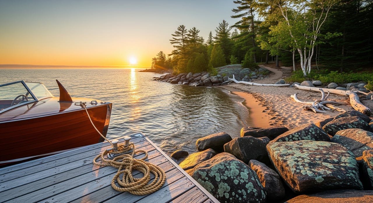
Port Wing is a small Lake Superior harbor community where the marina typically serves local boaters, anglers, and seasonal visitors. In towns like this, you can expect a protected basin with a breakwater, a public launch, and a mix of seasonal and transient dockage. Services often vary by season, with the main boating window running spring through fall and winter ice limiting access. For the most current details on slips, launch conditions, and services, contact the town office or harbormaster directly.
What boaters should confirm
- Slip options: seasonal versus transient, any waitlist, and reservation process.
- Launch details: ramp width, depth, surface, and trailer parking.
- On-site services: fuel, pump-out, shore power, winter storage, and haul-out.
- Safety planning: use the NOAA Great Lakes marine forecast, review USCG Boating Safety guidance, check NOAA GLERL water temperature data, and refresh state rules via the Wisconsin DNR boating basics.
Beaches and shoreline access
Lake Superior’s south shore around Port Wing tends to feature pocket beaches with sand, pebble, and cobble. Amenities are usually simple, like small parking areas and picnic spots, and lifeguards are typically not present in small communities. Water stays cool even in summer, and conditions can change quickly with wind or storms. Before you swim, check local advisories and water quality updates using the Wisconsin DNR beach monitoring page.
Beach-day tips
- Pack layers and a windproof top. The lake can feel 10 to 15 degrees cooler near the water.
- Bring water shoes for cobble sections and a U.S. Coast Guard–approved life jacket for kids near the waterline.
- Avoid climbing breakwalls and watch for sudden waves near points and harbor entrances.
- Keep an eye on conditions and have a warm, dry change of clothes ready.
Trails near Port Wing
You’ll find relaxed shoreline walks, county park loops, and connections to broader trail systems across Bayfield County. Surfaces and difficulty vary, so it helps to confirm distance, elevation, and permitted uses before you go. For an overview of local options and maps, start with Bayfield County trail information and confirm seasonal updates.
Hiking and family loops
- Look for short coastal paths that connect the harbor to nearby beaches. These are ideal for casual morning or sunset strolls.
- County parks within a drive offer low-elevation loops that work well for families. Always verify trailheads, parking, and dog rules before you head out.
- In shoulder seasons, watch for wet sections and consider traction if temperatures dip.
Motorized and winter trails
- Snowmobile and ATV/UTV routes are a big part of the region’s lifestyle. Registration, permits, and local rules apply. Review the Wisconsin DNR ATV/UTV and Wisconsin DNR Snowmobile pages for requirements and maps.
- Winter trail grooming and access vary with snowfall. Check county updates before trailering in.
Apostle Islands access from Port Wing
The Apostle Islands add world-class boating, paddling, and hiking within a regional day trip. Island trails and campsites are managed by the National Park Service, and access typically requires a private boat or seasonal operators based in nearby ports. Schedules and rules change with conditions and time of year. Plan ahead using the Apostle Islands National Lakeshore site for island trail maps, safety guidance, and camping information.
Paddling and small-craft notes
- Even in midsummer, Lake Superior is cold. Dress for immersion and plan conservatively.
- Check the marine forecast and wind direction before launching, and carry a VHF radio and backup navigation.
- Landing, fires, and camping rules vary by island. Confirm details with the National Park Service and secure permits where required.
Seasons and what to expect
- Summer: Warmest water at the surface, lighter winds on some days, and the most services available. Expect more visitors.
- Fall: Cooler air, more frequent wind, and great foliage. Days get shorter, so plan daylight carefully.
- Winter: Harbor ice forms, and most marina services pause. Snowmobiling, snowshoeing, and quiet hikes become the norm.
- Spring: Variable weather and partial openings. Some businesses operate limited hours until consistent warmth returns.
Cell coverage can be spotty in rural stretches. Save maps offline, keep batteries charged, and let someone know your plans when you head out on the water or onto remote trails.
Quick planning checklist
- Check the NOAA marine forecast and recent lake temps via NOAA GLERL.
- Call the harbormaster to confirm slip options, launch conditions, and seasonal services.
- Review DNR beach monitoring before swimming.
- Download county trail info and verify seasonal trail status.
- Pack safety gear: life jackets, warm layers, first aid, and charged lights.
- Set a backup plan in case wind or waves pick up.
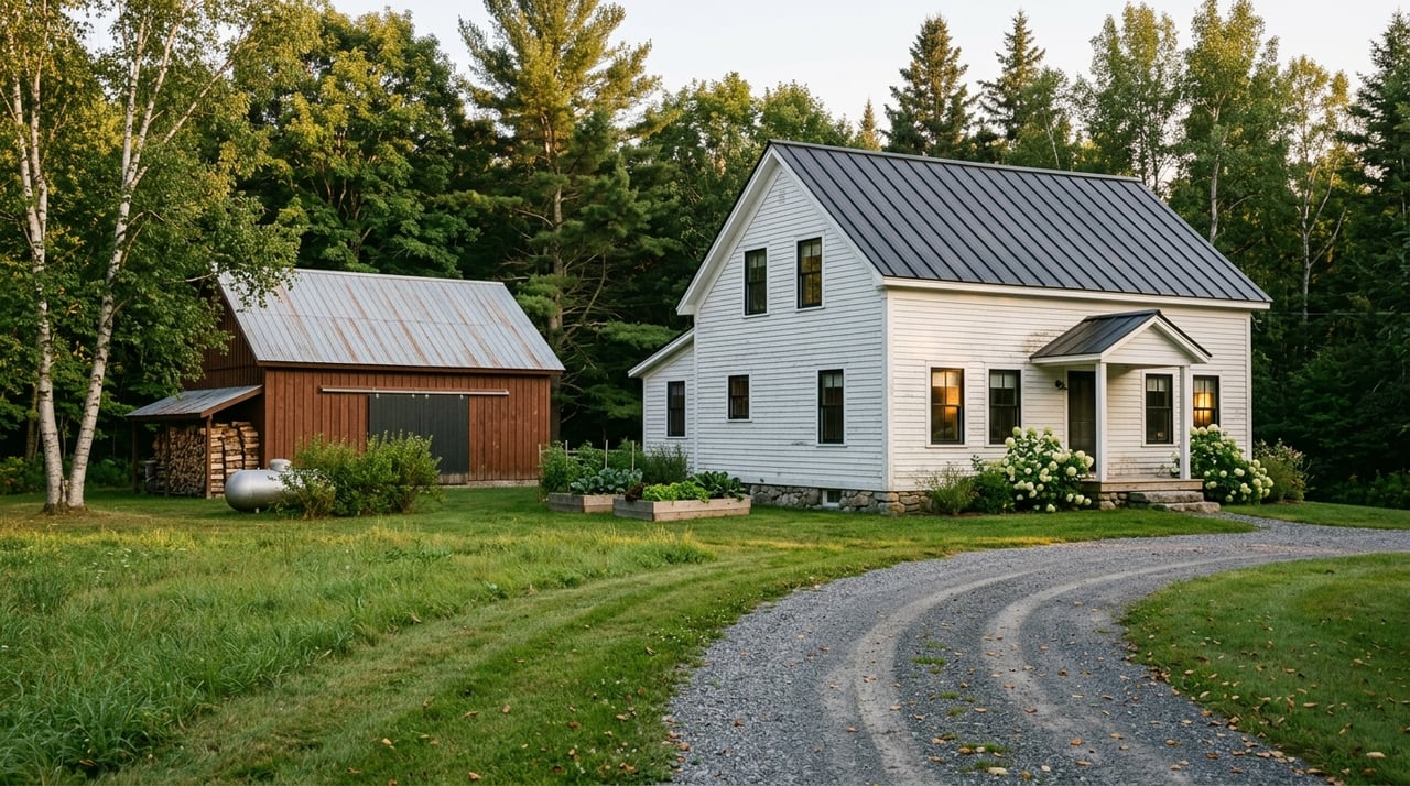
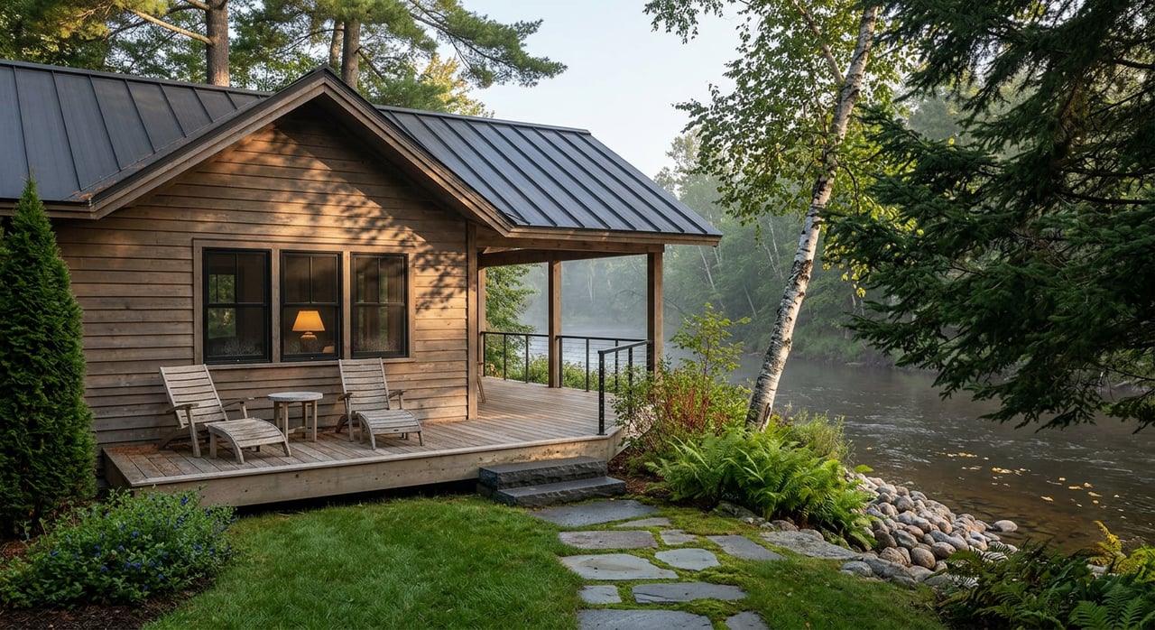
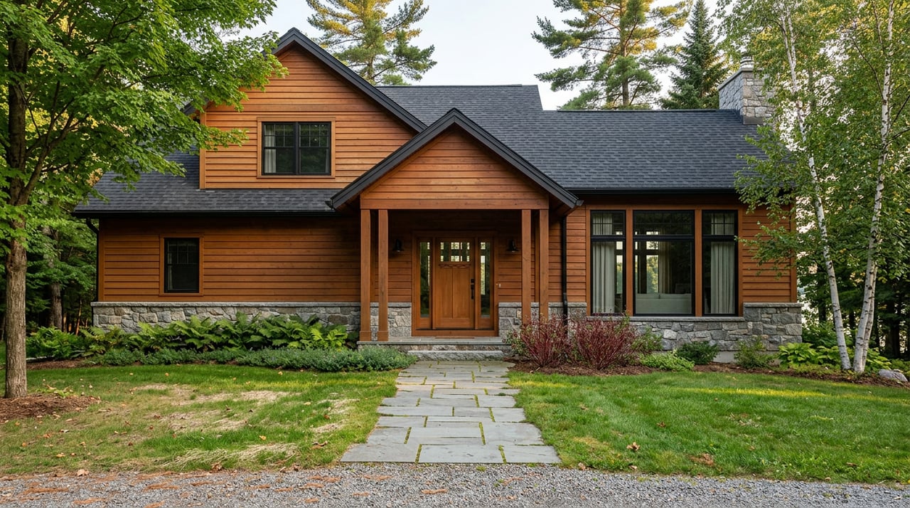
Why second-home buyers choose Port Wing
If you love low-key harbor living with quick lake access, Port Wing delivers a peaceful base for boating, paddling, and shoreline walks. The broader Bayfield County trail network adds four-season fun, from family hikes to winter sledding. With the Apostle Islands nearby, you can build a routine that mixes quiet weekdays with destination adventures. It’s a lifestyle that balances nature, simplicity, and access to big-water experiences.
Ready to talk neighborhoods, lake access, and property options that fit how you want to live? Reach out to Peggy Kman for straight answers and local guidance.
FAQs
Can I keep a boat in Port Wing year-round?
- Plan on a seasonal boating window with winter haul-out or storage; confirm slip availability, storage options, and any waitlist directly with the harbormaster.
Are Port Wing beaches good for kids and swimming?
- Expect mixed sand and cobble with cool water; lifeguards are typically not present, so supervise closely and check DNR beach monitoring before swimming.
How do I get to the Apostle Islands from Port Wing?
- You’ll need a private boat or to use seasonal operators from nearby ports; review maps, rules, and trip planning on the Apostle Islands National Lakeshore site.
What’s the best season for the marina and trails?
- Summer brings the most services and calmer days; fall is windier with great color; winter shifts to snowmobile and snowshoe access; spring is variable and often partial openings.
Are there ATV and snowmobile routes nearby?
- Yes. The region connects to broader networks; check permits and trail status on the Wisconsin DNR ATV/UTV and Snowmobile pages.
How cold is Lake Superior for swimming and paddling?
- Even in summer the lake stays cold; check recent conditions with NOAA GLERL water temperature data and dress for immersion when paddling.
Is cell service reliable around Port Wing’s shoreline?
- Coverage can be spotty in rural stretches; download maps for offline use and share your float or hike plan before you go.