Thinking about buying your own slice of Northwoods near Delta in Bayfield County? You are not alone. Many buyers want a quiet base for hunting, riding, fishing, or a future cabin, but the process can feel complex. In this guide, you will learn how to check access and trails, size up timber and wildlife, compare financing and taxes, and follow a clean due diligence plan. Let’s dive in.
Why Delta works for recreation
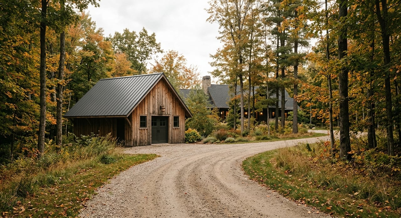
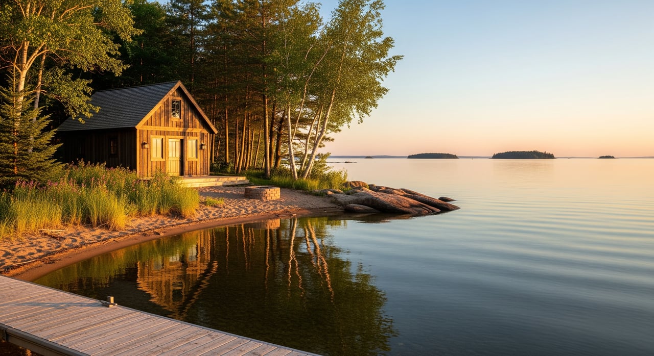
Delta sits in a part of northern Wisconsin known for forests, lakes, and four-season trail networks. You can find small wooded lots and large tracts, sometimes next to county or national forest lands that expand your recreational options. Most buyers focus on access, buildability, and long-term costs so the land fits both today’s fun and tomorrow’s plans.
If you keep three decisions front and center, you will make a confident purchase:
- Is legal access sufficient for how you plan to use the land year-round?
- Is the site buildable and free of major constraints like wetlands or shoreland rules?
- Can you afford the property once you include development, management, taxes, and financing costs?
Start with legal access
Public vs. private access
Trail or tire tracks do not prove legal access. Confirm whether access is by a public road, or by a deeded and recorded easement across private land. A recorded right of way is different from a maintained public road, so read the deed and have a title company verify access language.
Visit the property using the route described in the deed and maps. If an easement is involved, confirm its location, width, and allowed uses. Ask whether gates are permitted and who controls them.
Road maintenance and cost sharing
If access uses a private road, ask for any road maintenance agreement. Find out who plows in winter and who grades in summer, and whether owners split costs or pay special assessments. Check with the town or county to see what roads are publicly maintained during winter.
Trails and recreation corridors
ATV and snowmobile connections
Northern Wisconsin counties support groomed trail systems managed by local clubs with county and state coordination. Before you buy, confirm if nearby trails are public, seasonally open, and whether they cross private land with permissions that could change. Identify the closest trailheads and note any seasonal closures that may limit access.
Hiking, equestrian, and bike access
Parcels that adjoin county or national forest often offer a bigger playground outside your boundary. Review public land maps so you know where you can legally hike, ride, or ski. Adjacency can boost recreational value.
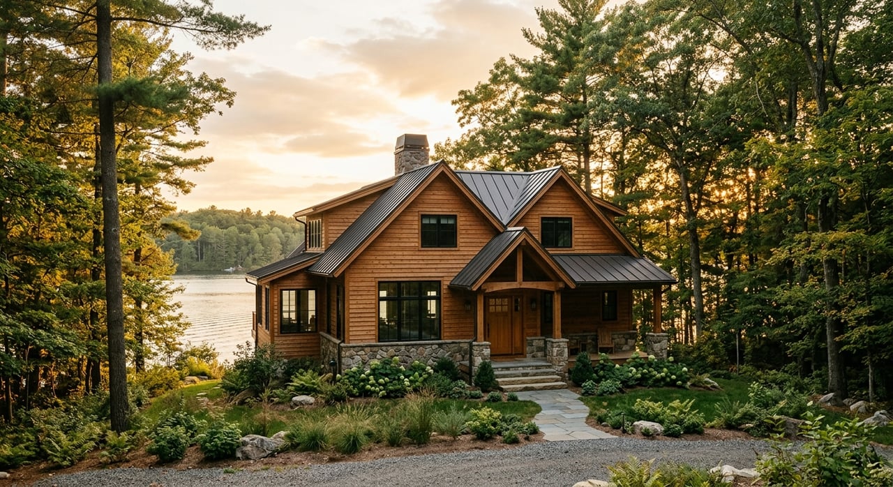
Water and shoreland basics
If the parcel touches a lake or river, verify shoreline ownership and whether a public landing is nearby. Ask for county plat and shoreland zoning maps so you understand building setbacks and vegetation rules. Shoreland overlays may affect where you can place a driveway, cabin, or dock.
Timber and habitat essentials
Common forest types you will see
Northern hardwoods and conifers are typical in Bayfield County. Expect mixes of aspen, birch, maple, spruce, balsam fir, and cedar. Soil and topography guide what grows where, and wet lowlands often limit building but can support valuable wildlife habitat.
Estimating timber value
If merchantable timber is a goal, consider a timber cruise by a consulting forester. A cruise estimates volume, species mix, and probable stumpage value. Ask if the property has an active management plan, a stewardship agreement, or any timber-related easements that affect your options.
Habitat features for hunters and naturalists
Look for mast producers like oak or apple, conifer stands for winter cover, brushy young forest for deer and grouse, and any ponds or wetlands that draw waterfowl. Edge habitat, where woods meet field or wet ground, often concentrates game.
Harvest rules and best practices
If you plan to harvest timber, follow Wisconsin forestry Best Management Practices. Shorelands, wetlands, and sensitive habitats can add permitting steps or limit timing. Good planning protects both habitat and access routes.
Is the site buildable?
Soils, wetlands, and septic
Before you dream up a cabin plan, confirm the ground can support it. Review soil maps and have a site evaluation and percolation test if you plan a septic system. Wetlands or hydric soils can limit or prevent development and may require permits or a delineation by a qualified professional.
Wells, floodplain, and utilities
If there is an existing well, ask for depth and water quality records. If there is not, visit with local well drillers about feasibility and costs. Check floodplain maps for building limits. In remote spots, cell service and wired internet can be limited, so consider satellite options where needed.
Financing raw land
What to expect from land loans
Raw recreational land usually calls for lot or land loans rather than standard mortgages. You can expect higher down payments, often 20 to 50 percent, shorter terms of about 5 to 15 years, and higher interest rates than home loans. Lenders often require clear legal access and an appraisal.
Where buyers find funding
Buyers frequently work with local banks and credit unions, specialized land lenders, or consider owner financing. Some buyers use cross-collateralized loans secured by other property. USDA Rural Development programs are geared to homes and typically do not finance raw recreational land. USDA Farm Service Agency loans focus on agricultural producers and have specific eligibility.
Taxes and conservation programs
Property tax basics
Your tax bill will reflect local rates and assessed value. Ask for the current assessment and any special assessments, and plan for changes if you add improvements like a driveway, utilities, or a cabin.
Managed Forest Law
Wisconsin’s Managed Forest Law can lower property taxes for enrolled forest land under a long-term management plan. Enrollment comes with obligations and limits future uses, so read the plan and rules closely before you commit. The program can be a good fit if you value active forest management.
Conservation easements and ag assessment
Recorded conservation easements affect development rights and can reduce market value while preserving natural features. Recreational parcels without eligible farming use generally do not qualify for agricultural use-value assessment.
Due diligence checklist
Use this working list to move from interest to confident closing:
Legal and title
- Order a title search and buy title insurance. Review deeds for easements, rights of way, liens, covenants, and any reserved mineral or extraction rights.
- Verify the exact access route and the deeded language that allows it.
- Require a current boundary survey, especially if corners are unclear.
Site and access
- Drive the access in different seasons to test passability.
- Confirm any road maintenance agreement and winter plowing plans.
- Check cell coverage and available internet options.
Environmental and buildability
- Review wetlands, floodplain, and shoreland overlays.
- Order a septic site evaluation and percolation test if you plan to build.
- Test an existing well, or price a new well with local drillers.
- Pull soil maps to flag hydric soils or other constraints.
Resource encumbrances
- Ask about any conservation easement, hunting lease, or seasonal access agreement.
- Check for recent or pending timber sales or harvest rights.
Professional reports to consider
- Boundary survey.
- Timber cruise for timbered tracts.
- Environmental site assessment if prior extractive or industrial use is suspected.
- Wetland delineation where mapping shows potential wetlands.
Plan a smart site visit
Get permission and prepare
Always get written permission to walk private land. Bring a printed plat, a parcel map, GPS or a mapping app with offline maps, a first-aid kit, compass, boots, tick repellent, water, and a charged phone or satellite communicator in low-coverage areas.
Visit in more than one season
See the land in spring to gauge mud and seasonal roads, in summer for vegetation and wildlife sign, and in winter for snowmobile access and plowing realities. Note boundary markers, any posted signs, game cameras, trails, and evidence of harvest or heavy use.
Keep safety in mind
Northern Wisconsin has ticks and black bears. Let someone know your route and expected return, and be prepared for limited signal.
Common tradeoffs to weigh
- Price vs. access. Lower prices can mask higher future costs for roadwork, culverts, or limited winter access.
- Timber value vs. recreation. Mature timber may reduce early successional habitat favored by some game species; you may balance habitat goals with harvest plans.
- Tax savings vs. flexibility. Programs that reduce taxes often come with long-term rules that limit subdivision or development.
Ready for next steps?
You do not have to navigate all of this alone. A local, full-time advisor can help you verify access, align the parcel with your goals, and coordinate the right inspections and reports. If you want a clear plan for buying recreational land in Delta and across Bayfield County, connect with Peggy Kman to talk through options and timing that fit your goals.
FAQs
How do I confirm year-round legal access to land in Delta?
- Review the deed for an access description, verify road ownership and maintenance with the town or county, and require a recorded easement if access crosses private land.
Can I finance raw recreational land in Bayfield County?
- Yes. Expect higher down payments, shorter terms, and higher rates than home loans, and consider local banks, credit unions, specialized land lenders, or owner financing.
What inspections are essential before buying a cabin site?
- Order a title search and survey, check wetlands and floodplain overlays, get a septic site evaluation and percolation test, and consider a timber cruise for wooded parcels.
How does Wisconsin’s Managed Forest Law affect my plans?
- MFL can lower property taxes under a long-term forest plan but places rules on future use and harvest, so review the plan and commitments before enrolling or buying enrolled land.
How do I find out if timber rights or conservation easements limit use?
- Ask the title company to pull recorded documents and review them, and check county land records for easements or timber sale contracts that may continue after closing.
What should I bring to a first site visit in northern Wisconsin?
- Bring parcel maps, GPS or offline maps, boots, tick repellent, water, a first-aid kit, and a charged phone or satellite communicator, and always get permission before entering.